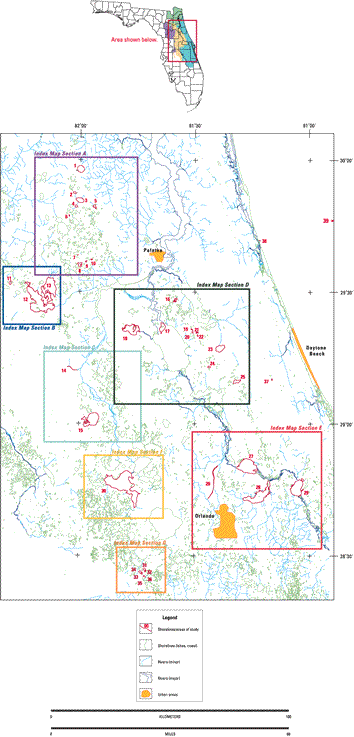
CFCG Home
SJRMD Home
 
Home
Index
Introduction
Section A
Section B
Section C
Section D
Section E
Section F
Section G
Section H
Summary
Acknowledgments
References
Contacts
Downloads


Index to Coverage

High Resolution, Single Channel
Seismic Profiles
Northeast Florida

Surveys conducted by the USGS and the SJRWMD
between August 1993 and April 1996.


Top of Page

Home

Introduction

Index Map A


Introduction
Methods
Regional Geology
Karst Development
Sinkhole Lake
Karst Features
Index Map A
1-Kingsley Lake
2-Blue Pond
3-Sand Hill
4-Lake Magnolia
5-Lake Johnson
6-Paradise Lake
7-Levys Prairie
8-Cowpen Lake
9-Morris Lake
10-Lake Galillee
Index Map B
11-Lake Wauberg
12-Orange Lake
13-Lake Lochloosa
Index Map C
14-Silver River
15-Lake Weir
Index Map D
16-Lake Como
17-Drayton Island
18-Lake Kerr
19-Davis Lake
20-Upper Lake Louise
21-Cow Pond Lake
22-Lake Juanita
23-Lake Disston
24-Lake Cain
25-Lake Dias
Index Map E
26-Wekiva River
27-Lake Monroe
28-Lake Jessup
29-Lake Harney
Index Map F
30-Lake Harris
Index Map G
31-Lake Trout
32-Lake Pike
33-Lake Hammond
34-Dixie Lake
35-Lake Keene
36-Lake Smokehouse
Index Map H
37-Indian Lake
38-Crescent Beach
39-Red Snapper Sink
Summary
Acknowledgements
References
Contacts
Downloads